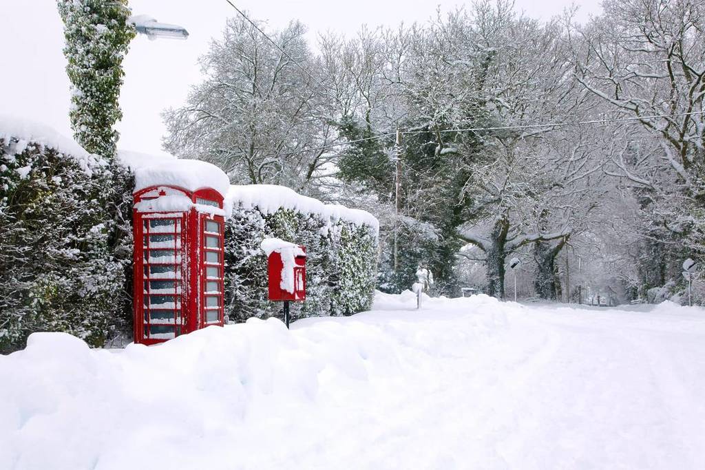
It looks like winter is not yet over in Liverpool, as we are bracing for another period of freezing weather. The North West of England has been issued a Yellow Weather Warning for Snow & Ice starting tomorrow (February 12).
The exact times for the Yellow Weather Warning for Snow & Ice in the North West
The Yellow Weather Warning for Snow & Ice has been issued for the North West between 7pm on Thursday, January 12 and 12pm on Friday, January 13.
Locals are urged to take care when travelling, be mindful of icy patches and to expect travel delays.
Will it snow in Liverpool?
While the warning has not been issued specifically for Liverpool, we are in the clear.
The Met Office said: “Snow showers affecting high ground are expected to start to fall to low levels through Thursday evening and overnight. Due to the showery nature, accumulations of snow will vary, but on low ground, 1-2 cm is possible in places by Friday morning, while on hills above 300 metres, accumulations of 2 to 5, perhaps very locally 10 cm are possible. In addition to the snow, temperatures will fall quickly, and this is likely to lead to ice on untreated surfaces.”
The Met Office forecast for Thursday says: “Another grey day with further outbreaks of rain, especially during the afternoon. Turning colder throughout the day with some hill snow developing through the evening, especially in the north. Maximum temperature 7 °C.”
While the forecast for the period between Friday, February 13 and Sunday, February 15 said: “Rather cold with further rain and hill snow on Friday. Drier and brighter on Saturday after a frosty start. Rain and hill snow risk returns on Sunday, as temperatures recover.”
Regions and local authorities affected
East Midlands
North East England
North West England
SW Scotland, Lothian Borders
West Midlands
Yorkshire & Humber
You can find out how to stay safe in the snow here, while all the safety information for tackling icy conditions can be found here.